


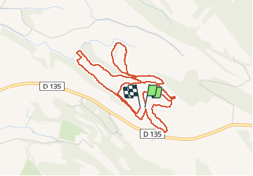

86 km | 102 km-effort

Gebruiker


Gratisgps-wandelapplicatie
 SityTrail
IGN / Geografische instituten
SityTrail World
De wereld gaat voor u open
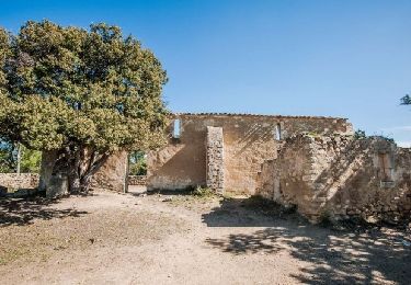
Tocht Stappen van 6,3 km beschikbaar op Provence-Alpes-Côte d'Azur, Vaucluse, La Tour-d'Aigues. Deze tocht wordt voorgesteld door counoise.
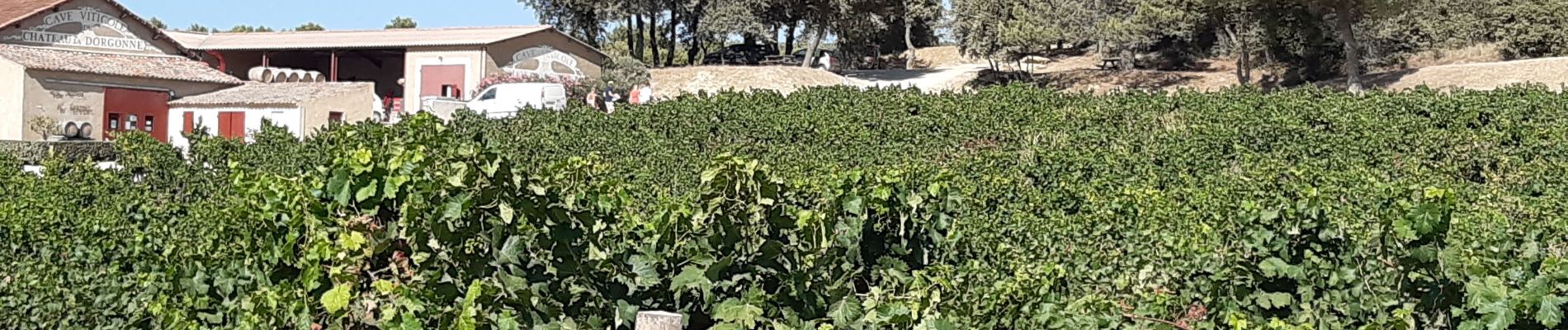
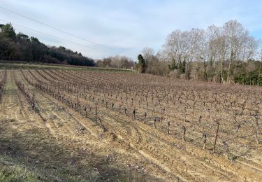
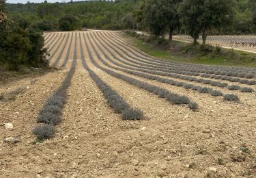
Superbe promenade dans les vignes du domaine suivie de la dégustation des vins du Château.
Activités gratuites durant l'Été 2020.


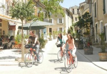
Fiets
Stappen
Stappen

Mountainbike
Stappen
Stappen
Stappen

Stappen
Stappen